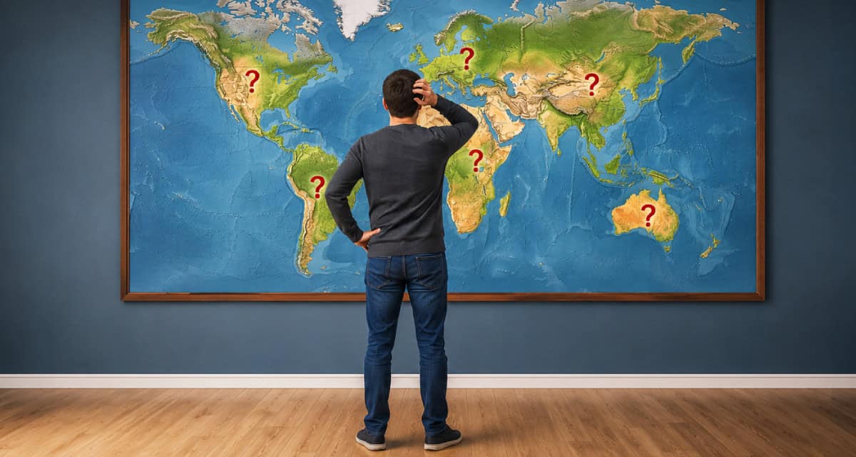


Most Americans Can’t Pass This Basic World Geography Quiz Without Missing Half
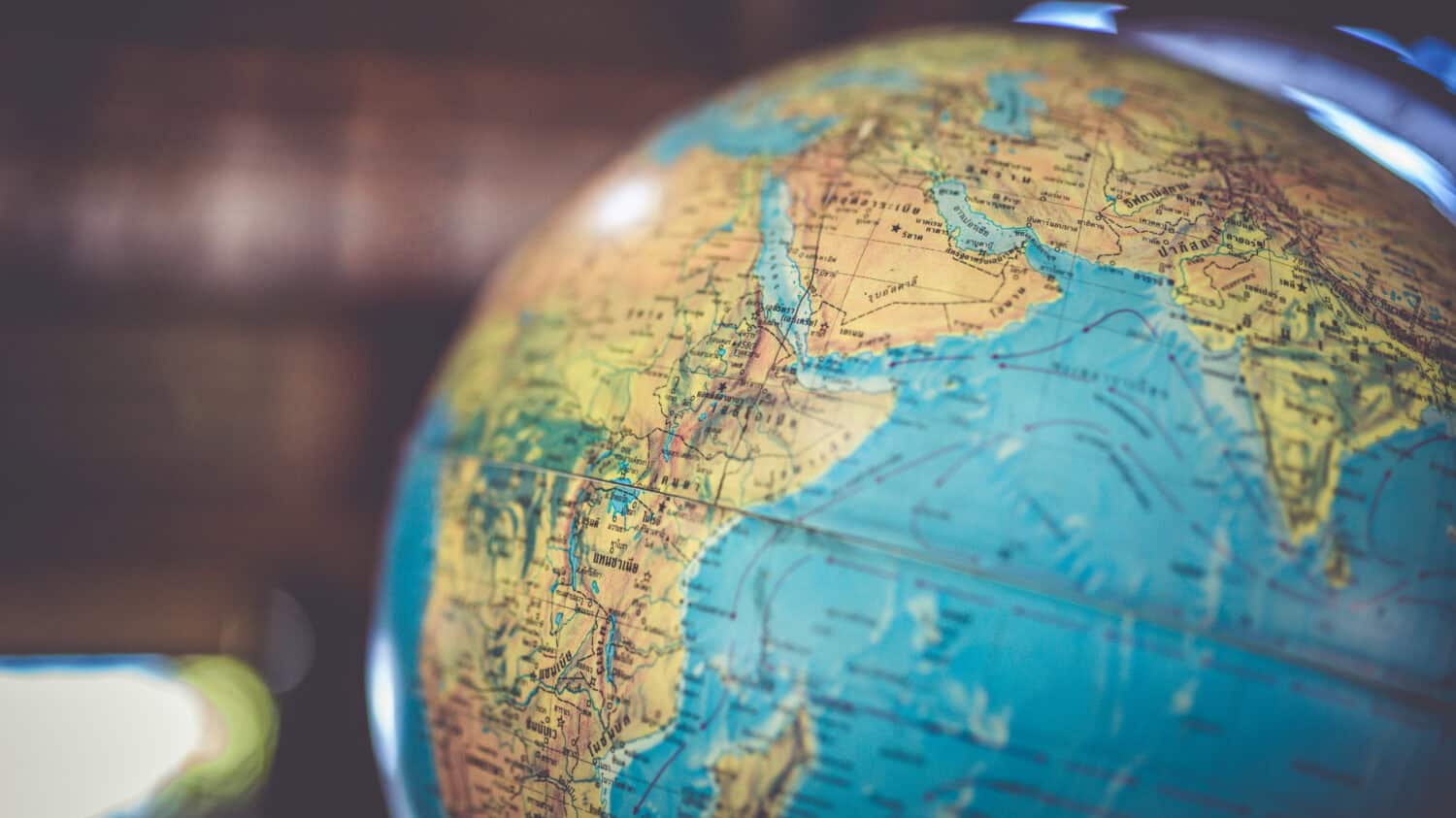
For much of the 20th century, geography knowledge was treated as a basic part of being informed about the world. Students memorized countries, capitals, oceans, rivers, and mountain ranges not just for school tests, but because world events constantly depended on geography. Wars, trade routes, alliances, exploration, and global politics all made map knowledge feel important. Today, however, many Americans struggle to locate major countries or answer surprisingly basic geography questions, even while international news and global events remain deeply connected to everyday life.
Do you know enough to pass this geography quiz?
Americans Are More Connected to the World Than Ever Before
Modern Americans can instantly watch events unfold across the globe through smartphones, social media, satellite television, and the internet. News about wars, elections, natural disasters, trade disputes, and international sports reaches millions of people within seconds. Yet despite living in the most globally connected era in human history, many people still struggle to identify major countries, regions, or geographic landmarks on a map. The contradiction is striking: people are consuming more international information than ever before while often possessing less basic geographic literacy about the world those events are happening in.
Modern Life Depends on Geography More Than Ever
Even people who rarely think about geography interact with it constantly. Weather systems, airline routes, shipping lanes, supply chains, GPS navigation, international trade, and breaking news all depend on understanding how the world is physically organized. A drought in one country can affect food prices somewhere else, while conflicts in distant regions can disrupt energy markets or global manufacturing. Geography is not just about memorizing maps, it helps explain how economies, cultures, and political systems connect across the planet.
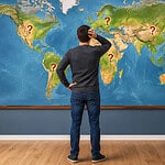
Some Geography Questions Are Harder Than They Look
Many geography questions sound easy until people actually try answering them without a map in front of them. Questions about capitals, continents, oceans, or major landmarks often reveal how much people rely on assumptions instead of actual geographic knowledge. Some countries are larger than expected, some capitals are not the most famous cities, and some regions sit in places many people would never guess. The farther the quiz progresses, the more it reveals how complicated global map literacy can become even at a basic level.
Geography Shapes Politics, Economics, and History
The physical layout of the world has shaped human history for thousands of years. Rivers created early civilizations, mountain ranges separated empires, oceans enabled trade, and deserts isolated entire regions. Geography still influences military strategy, migration, natural resources, and international politics today. Countries with access to ports often develop differently than landlocked nations, while climate and terrain continue affecting agriculture, infrastructure, and population growth. Understanding geography helps explain not just where places are located, but why the modern world developed the way it did.
This Quiz Is About Curiosity, Not Perfection
The goal of this geography quiz is not to embarrass anyone for missing an answer. Instead, it is meant to spark curiosity about the world and encourage people to think more globally. Some questions will feel extremely easy, while others may surprise even readers who follow international news closely. Geography remains one of the most useful forms of everyday knowledge because it helps connect headlines, cultures, history, and current events into a larger picture of how the world works.
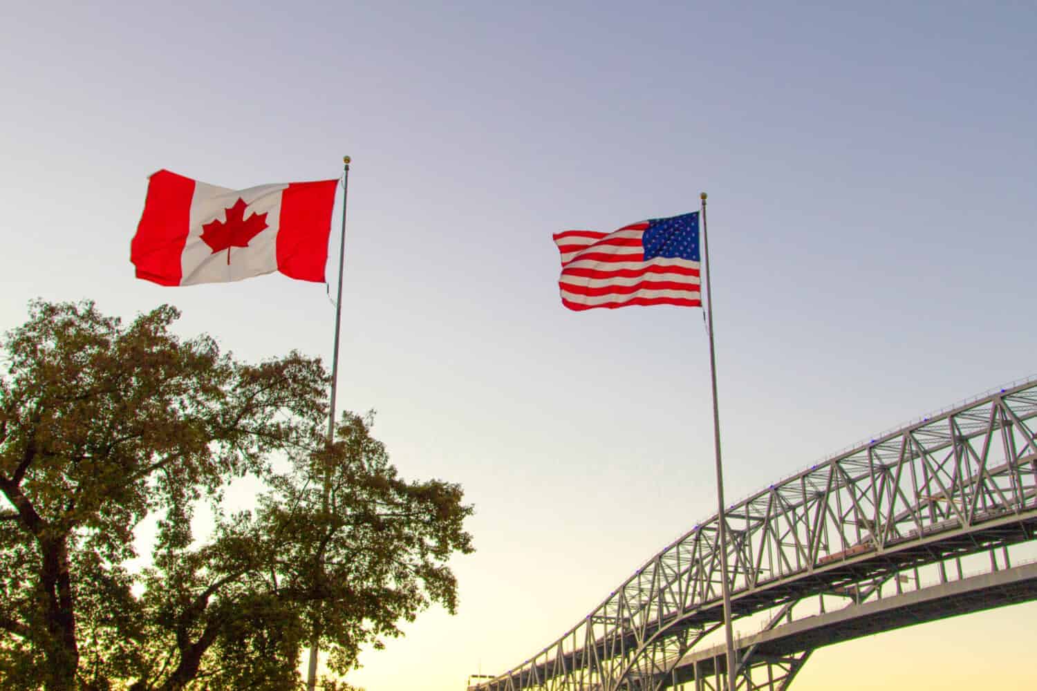
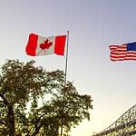
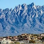
#1 What country borders the United States to the north?
- Hint: Their national animal could absolutely win a fistfight with you.
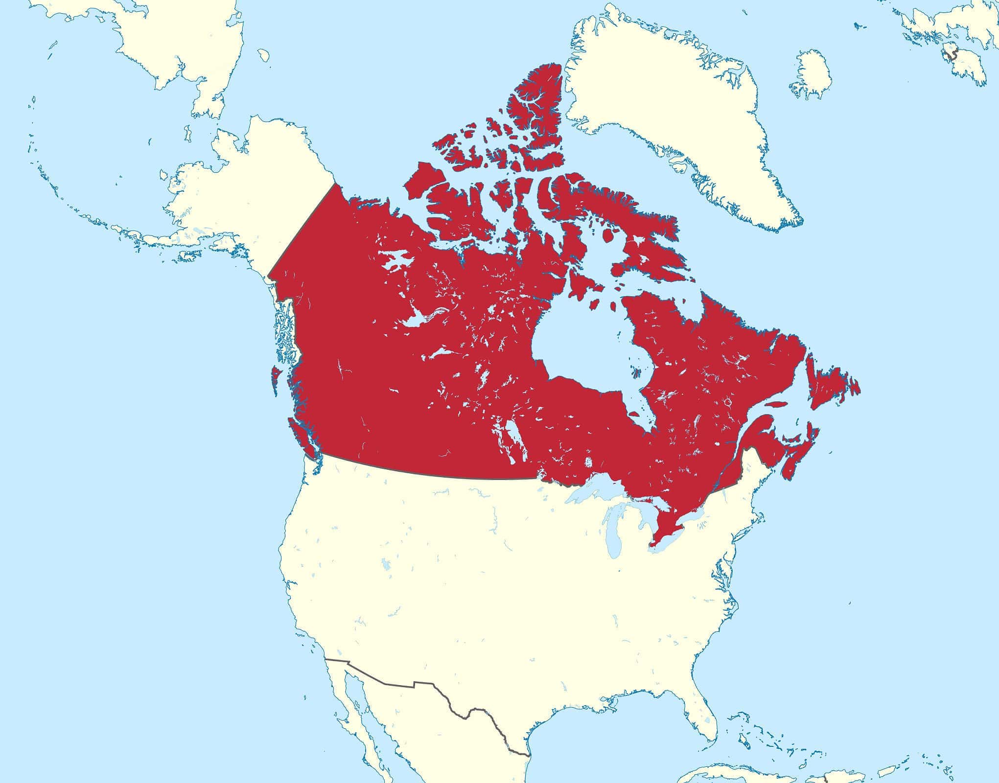
#1 Canada
Canada borders the United States to the north and shares the longest international border in the world with the U.S. Stretching more than 5,500 miles, the border crosses forests, mountains, lakes, farmland, and remote wilderness. Canada is also the second-largest country on Earth by land area, though it has a much smaller population than the United States. The relationship between the two countries is one of the closest economic and political partnerships in the world, with enormous amounts of trade and travel occurring across the border every day. Despite their similarities, many Americans still underestimate how geographically massive Canada actually is.
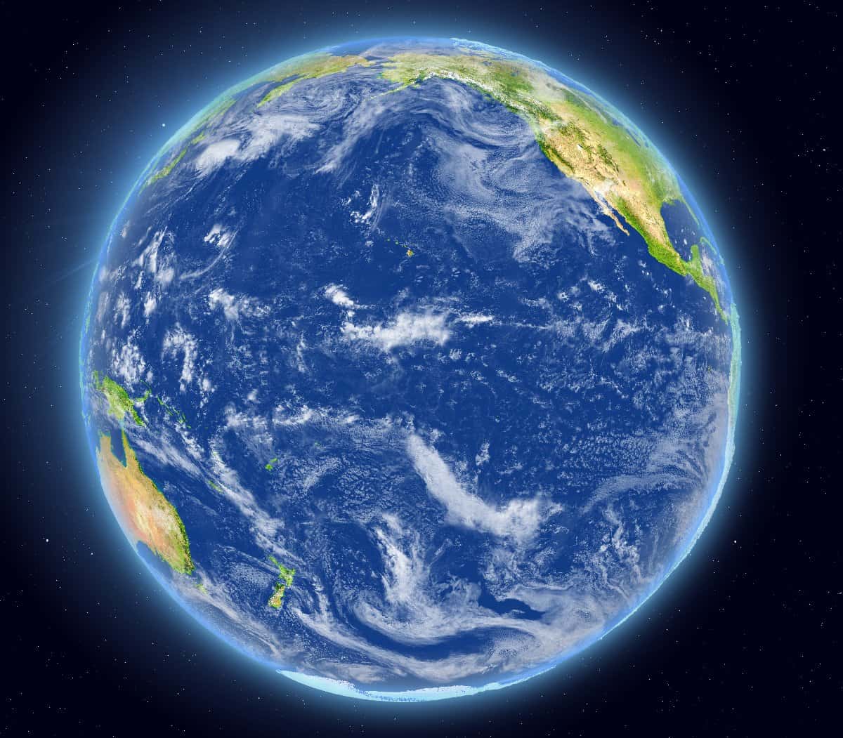
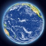
#2 What is the largest ocean on Earth?
- Hint: It’s so big it basically named itself.
#2 The Pacific Ocean
The Pacific Ocean is the largest and deepest ocean on Earth, covering more area than all of Earth’s continents combined. It stretches from Asia and Australia to the western coasts of North and South America and contains thousands of islands scattered across enormous distances. The Pacific also contains the Mariana Trench, the deepest known part of the world’s oceans. Because the ocean is so large, crossing it historically took weeks or months by ship before modern aviation existed. Today, the Pacific remains one of the most strategically and economically important regions in the world because of global trade, military presence, and shipping routes.
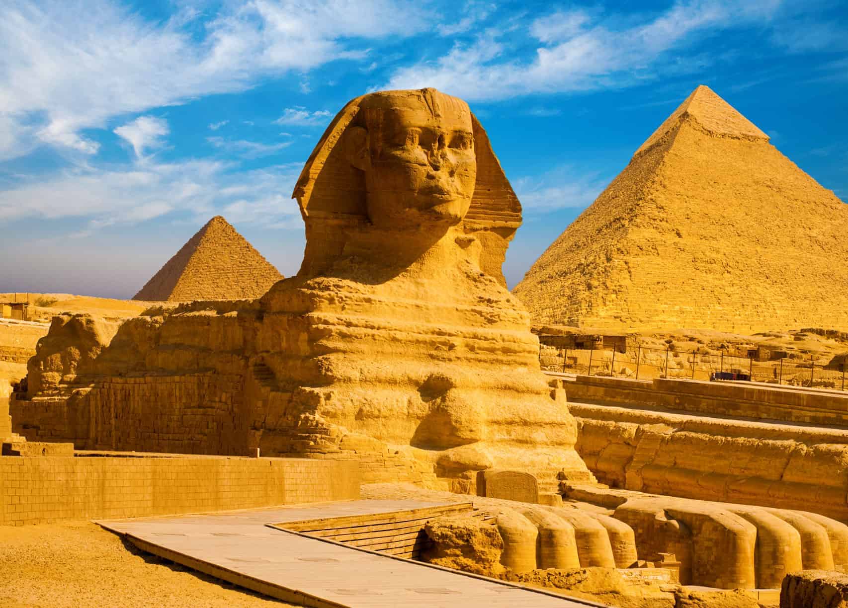
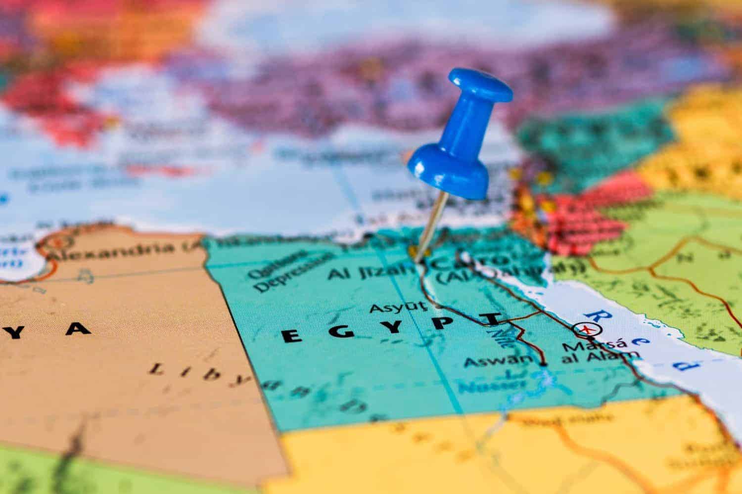
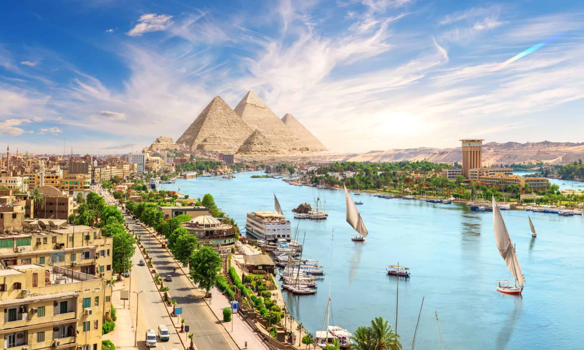
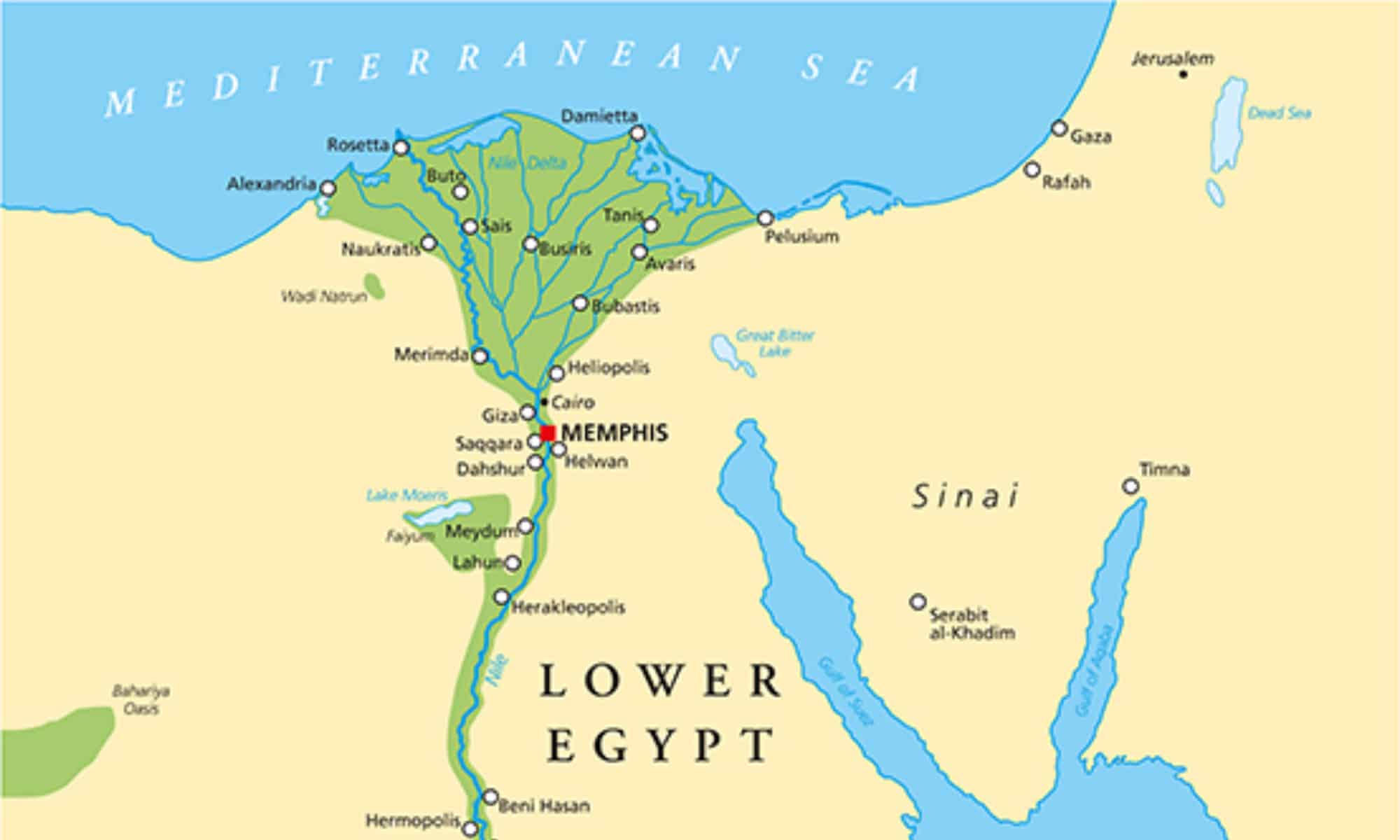
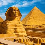
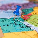
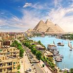
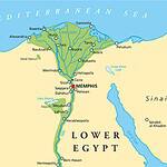
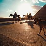
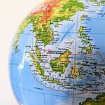
#3 What continent is Egypt located on?
- Hint: The pyramids are not in the Middle East… technically.
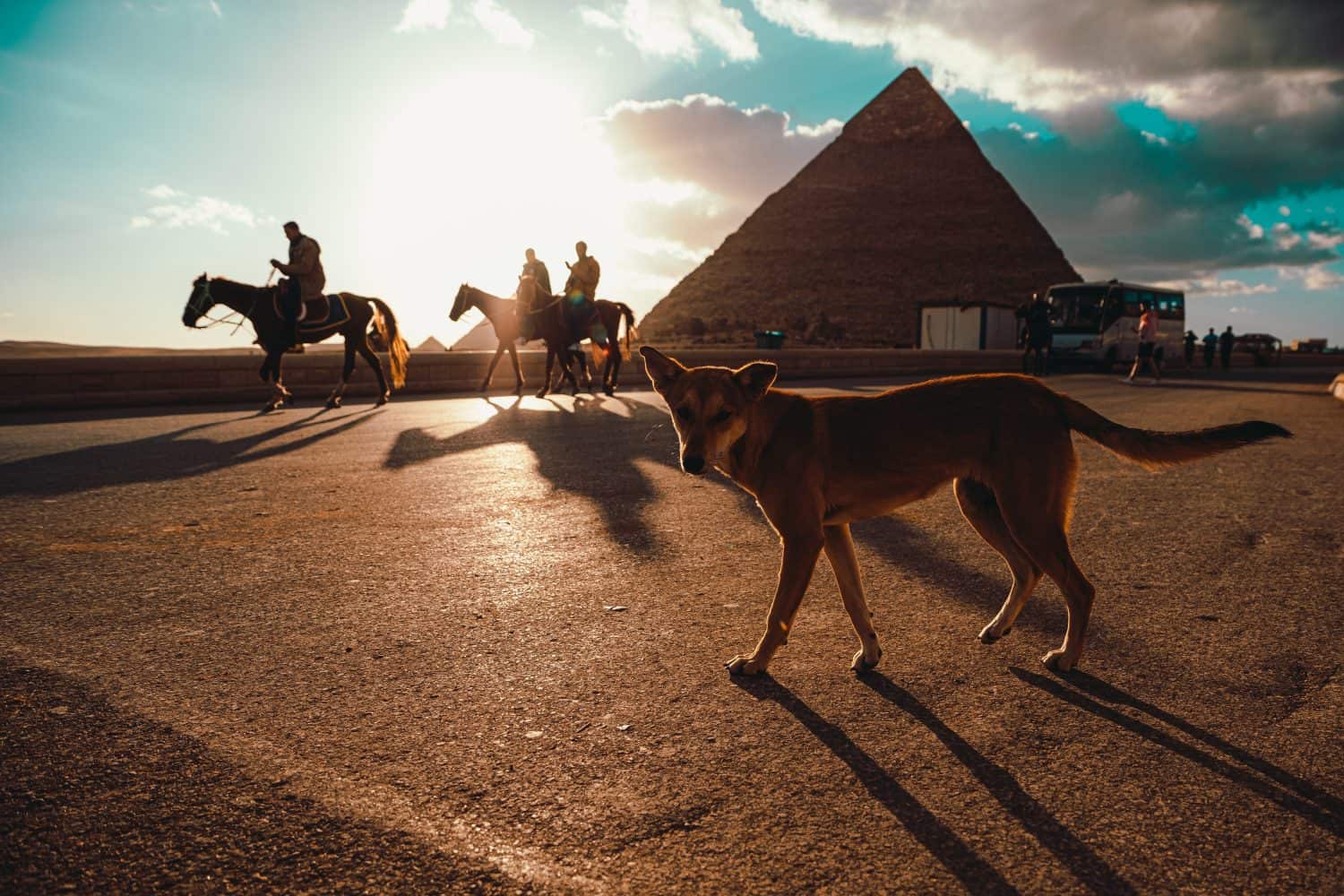
#3 Africa
Egypt is located in northeastern Africa, although its history and culture are also closely connected to the Middle East. The country sits near the junction of Africa and Asia because the Sinai Peninsula technically extends into Asia. This geographic position helped Egypt become one of history’s most important crossroads for trade, empire, and civilization. The Nile River, Mediterranean Sea, and surrounding deserts all played major roles in shaping Egyptian history. Many people associate Egypt more strongly with the Middle East than Africa because of religion, language, and modern geopolitics, but geographically the vast majority of Egypt remains firmly within the African continent.
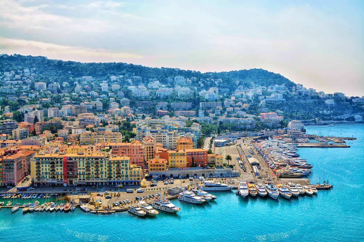
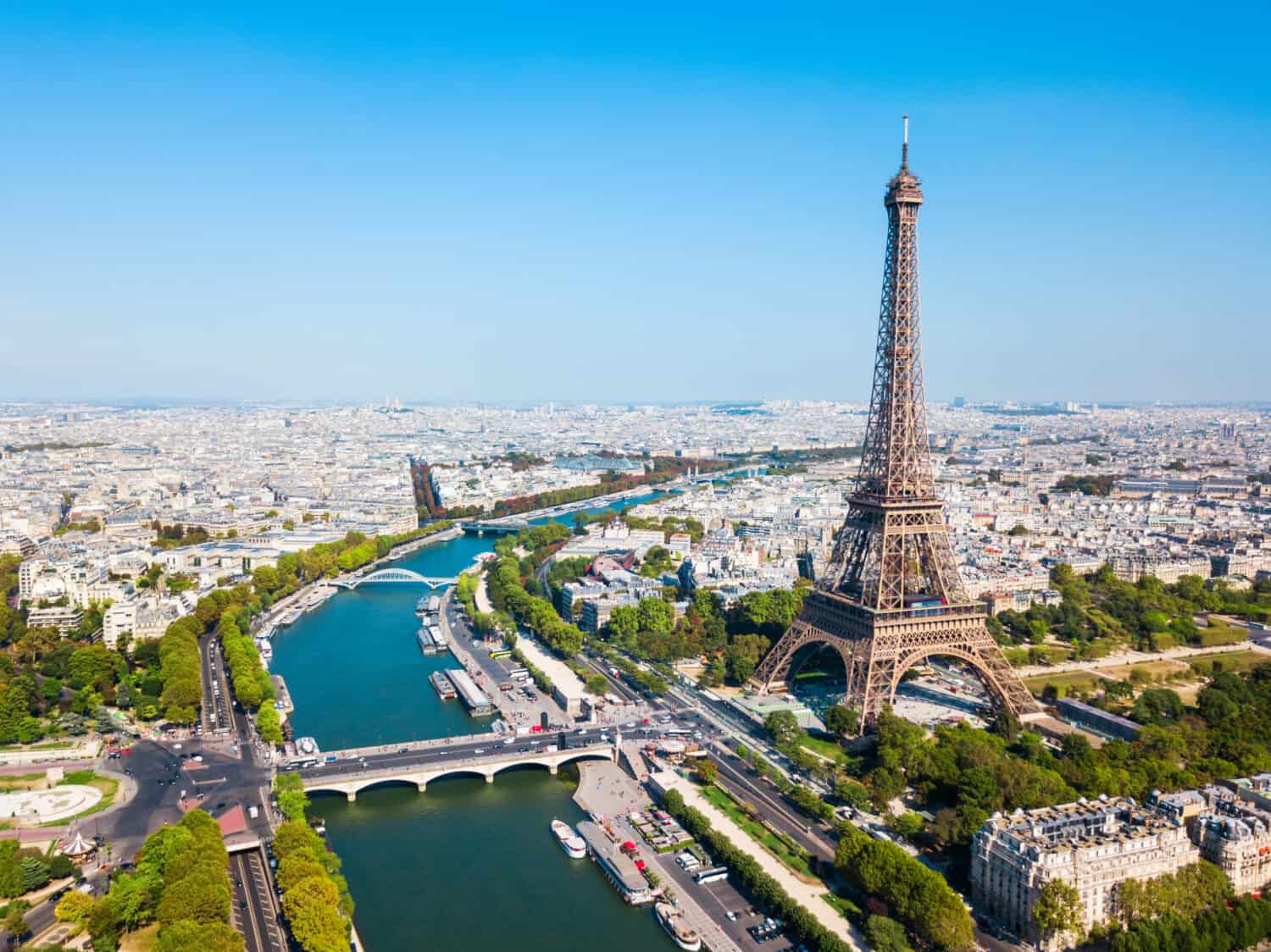
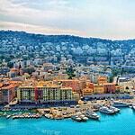
#4 What is the capital city of France?
- Hint: This city really, really likes bread and towers.
#4 Paris
Paris is the capital city of France and one of the most famous cities in the world. Known for landmarks such as the Eiffel Tower, the Louvre Museum, and Notre-Dame Cathedral, Paris has long been associated with art, fashion, culture, and cuisine. The city also played major roles throughout European history, including the French Revolution, Napoleon’s rise, and both World Wars. Today, Paris remains one of the world’s most visited tourist destinations and one of Europe’s largest urban centers. Many people recognize Paris instantly from movies, literature, and global pop culture, making it one of the most identifiable capitals on Earth.
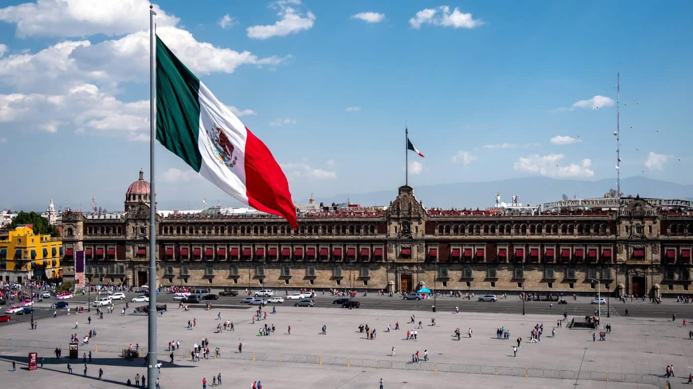
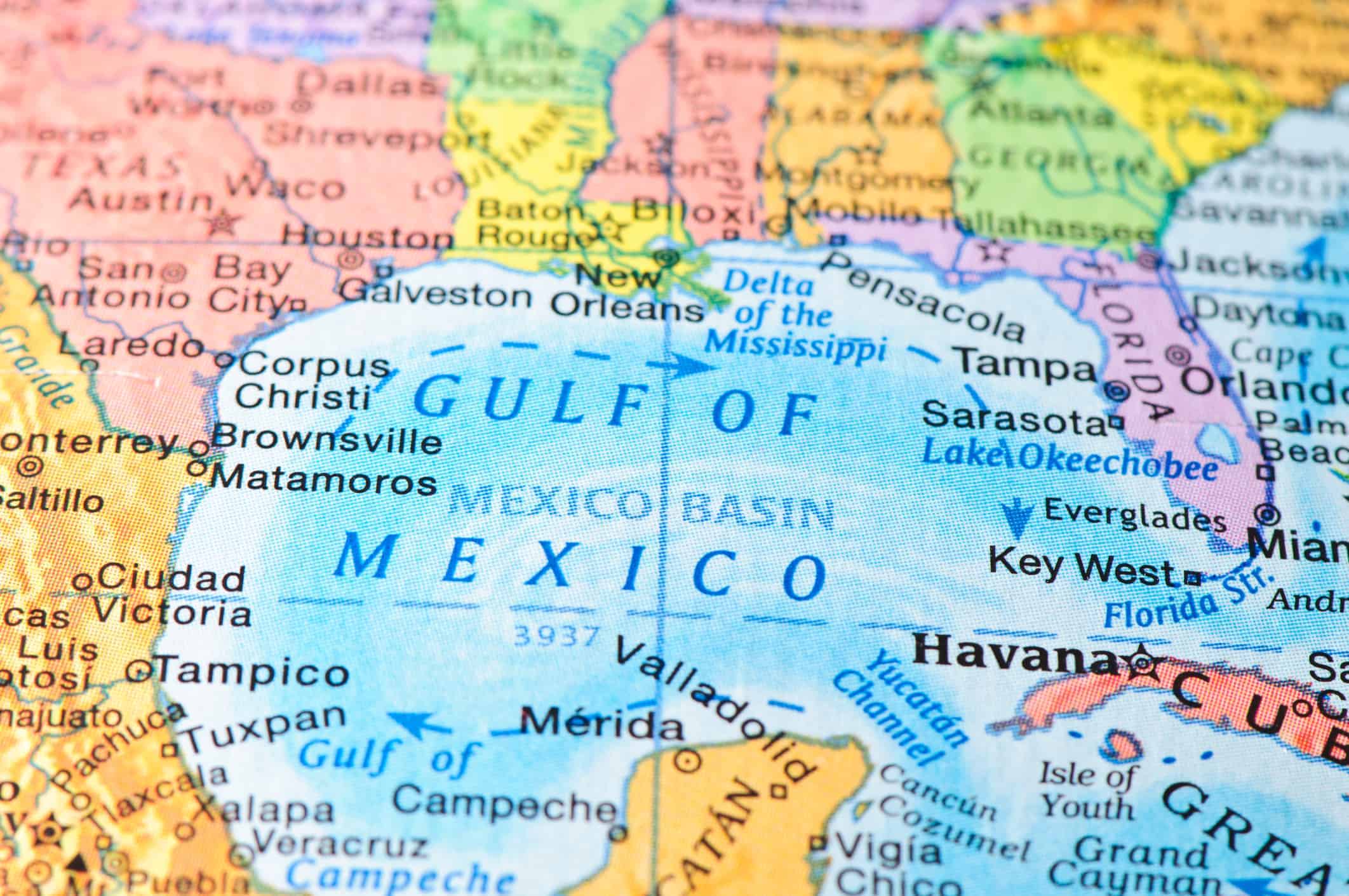
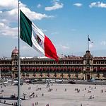
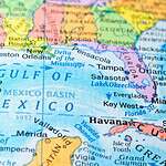
#5 Which country is directly south of the United States?
- Hint: Tacos may help you remember this one.
#5 Mexico
Mexico borders the United States to the south and shares one of the busiest international borders in the world with the U.S. The two countries are deeply connected through trade, culture, migration, tourism, and economics. Mexico is also one of the largest countries in North America by both population and land area. Ancient civilizations such as the Maya and Aztec built advanced societies there centuries before European colonization. Today, Mexico remains an important manufacturing, agricultural, and cultural center with enormous influence throughout the Americas. Despite its proximity, many Americans know surprisingly little about the country beyond stereotypes or vacation destinations.
#6 What river runs through Egypt?
- Hint: Ancient civilizations loved the waterfront property here.
#6 The Nile River
The Nile River runs through Egypt and helped create one of the earliest great civilizations in human history. Ancient Egyptian society depended heavily on the Nile because annual flooding deposited fertile soil along its banks, making agriculture possible in an otherwise desert environment. The river stretches more than 4,000 miles and flows northward into the Mediterranean Sea, which surprises many people because most maps make north-flowing rivers seem unusual. Even today, the Nile remains essential to Egypt’s population, economy, agriculture, and infrastructure. Without the Nile, Egyptian civilization as we know it likely would never have existed.
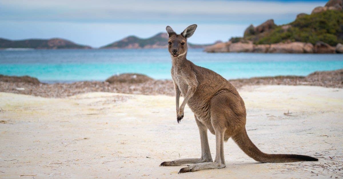
#7 What is the capital of Australia?
- Hint: It’s not Sydney. Australia enjoys tricking people with this one.
#7 Canberra
Canberra is the capital of Australia, even though many people incorrectly assume the answer is Sydney or Melbourne. The city was specifically selected as a compromise between Australia’s two largest and most influential cities during the country’s early federation period. Canberra was purpose-built to serve as the national capital and houses Australia’s parliament, government institutions, and many national museums. The confusion surrounding Canberra highlights how people often associate a country’s largest or most famous city with its capital automatically. Similar misconceptions happen elsewhere around the world, especially when capitals are smaller than the nation’s major economic centers.
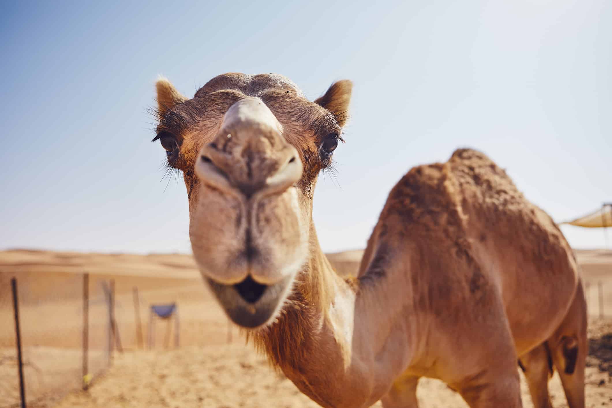
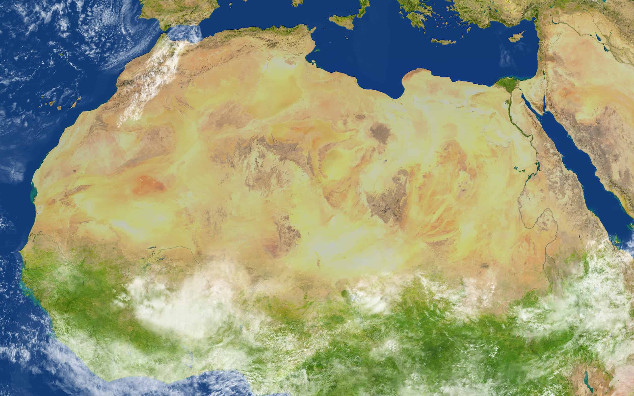
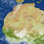
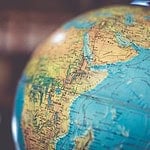
#8 Which continent is the Sahara Desert located on?
- Hint: Bring water. Lots of it.
#8 Africa
The Sahara Desert is located in northern Africa and is the largest hot desert on Earth. Stretching across multiple countries, the Sahara covers an area nearly as large as the continental United States. Although people often imagine the Sahara as endless sand dunes, much of the desert actually consists of rocky plateaus, gravel plains, and dry valleys. Temperatures can become extremely dangerous during the day, while nighttime temperatures sometimes drop sharply. The Sahara also played a major historical role in trade routes connecting North Africa with sub-Saharan Africa for centuries.
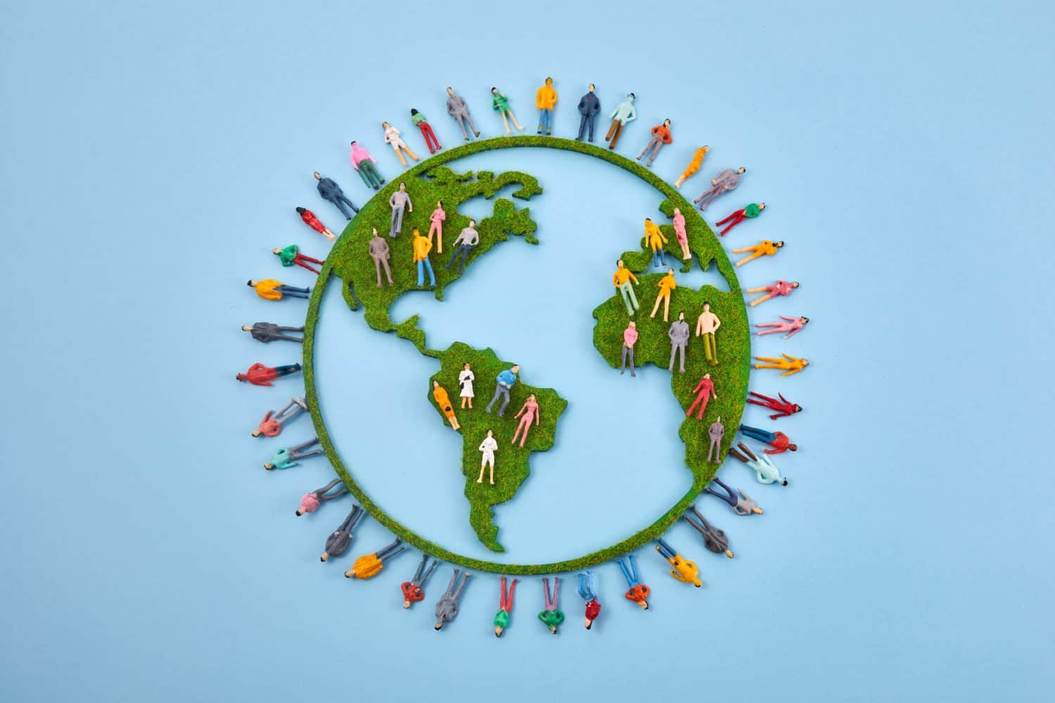
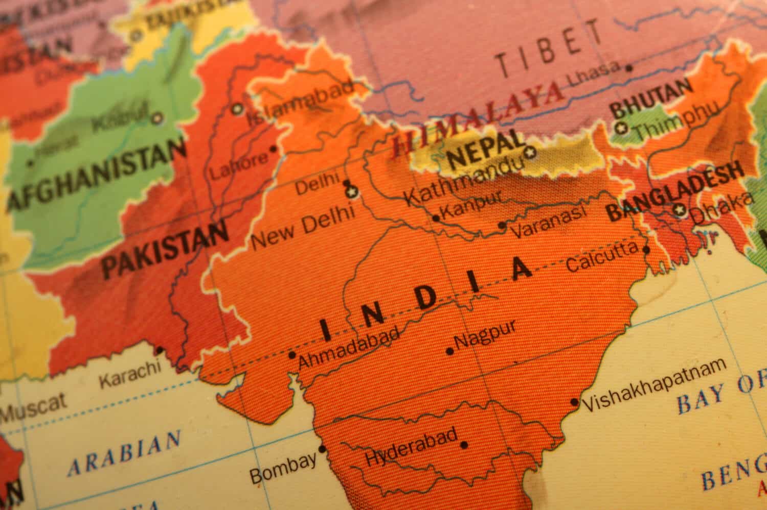
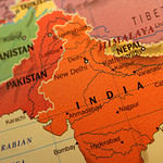
#9 Which country has the largest population in the world?
- Hint: It recently passed China.
#9 India
India recently surpassed China as the world’s most populous country, marking a major demographic shift in global population trends. With more than 1.4 billion people, India contains enormous cultural, linguistic, religious, and geographic diversity. The country includes massive urban centers, agricultural regions, mountain ranges, deserts, and coastlines spread across South Asia. India’s population growth also carries major economic and geopolitical implications because the country is rapidly expanding as a manufacturing, technological, and political power. Population size affects everything from infrastructure and education to labor markets and global influence.
#10 What mountain range separates Europe and Asia in many geography models?
- Hint: Rocky? No. Russian? Closer.
#10 The Ural Mountains
The Ural Mountains are commonly used as part of the geographic boundary separating Europe and Asia. Stretching through western Russia, the mountain range has historically served as one of the symbolic dividing lines between the two continents. Unlike oceans separating continents elsewhere, Europe and Asia exist on the same massive landmass called Eurasia, making the border somewhat more cultural and historical than purely physical. The Urals have also been strategically important throughout Russian history because they contain major natural resources and industrial centers. The range demonstrates how geography and culture often combine when defining continental boundaries.
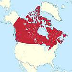
#11 Which two countries share the longest international border in the world?
- Hint: One side says 'sorry' a lot.
#11 The United States and Canada
The United States and Canada share the longest international border in the world. The border stretches across North America from the Atlantic Ocean to the Pacific Ocean and includes both the contiguous United States and Alaska. Much of the boundary remains peaceful and lightly militarized compared to many international borders elsewhere in the world. Trade and travel between the two countries are enormous, making the border economically vital to both nations. Despite its length, large portions of the border pass through remote wilderness where few people live, creating one of the world’s most unusual international boundaries.
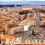
#12 What is the smallest country on Earth?
- Hint: You could walk across parts of it faster than some airport terminals.
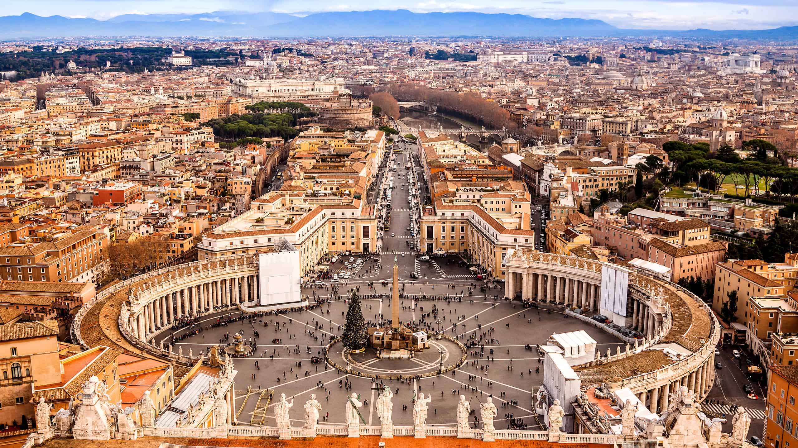
#12 Vatican City
Vatican City is the smallest independent country in the world, covering only about 100 acres inside the city of Rome, Italy. It serves as the headquarters of the Roman Catholic Church and the residence of the Pope. Despite its tiny size, Vatican City holds enormous religious and cultural significance for millions of people around the world. The country contains famous landmarks such as St. Peter’s Basilica and the Sistine Chapel, which features artwork by Michelangelo. Vatican City demonstrates that a nation’s global importance is not necessarily connected to its physical size or population.
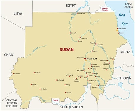
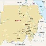
#13 Which African country has the most pyramids?
- Hint: Surprise — it’s not Egypt.
#13 Sudan
Although many people assume Egypt has the most pyramids, Sudan actually contains more pyramids than any other country in the world. These pyramids were built by the ancient Kingdom of Kush, which ruled parts of the Nile region south of Egypt thousands of years ago. Sudanese pyramids are generally smaller and steeper than the famous pyramids at Giza, but they remain historically significant. The misconception exists largely because Egypt’s pyramids became much more globally famous through tourism, movies, and history education. Sudan’s pyramid fields remain one of the lesser-known archaeological treasures of Africa.
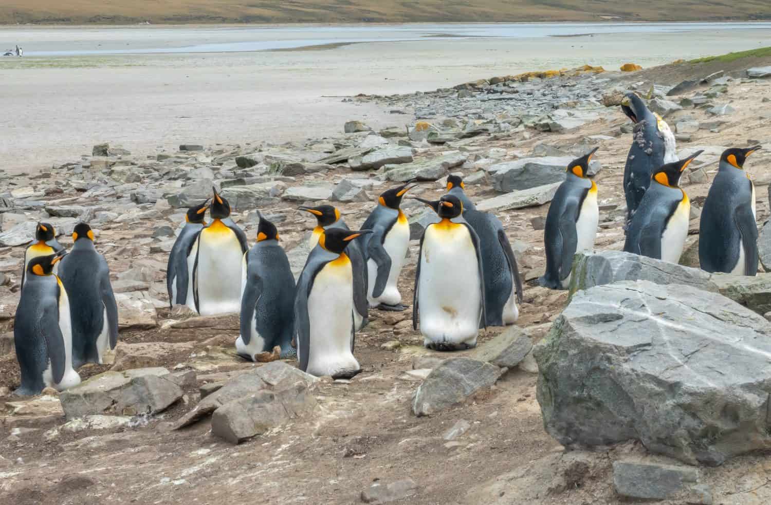
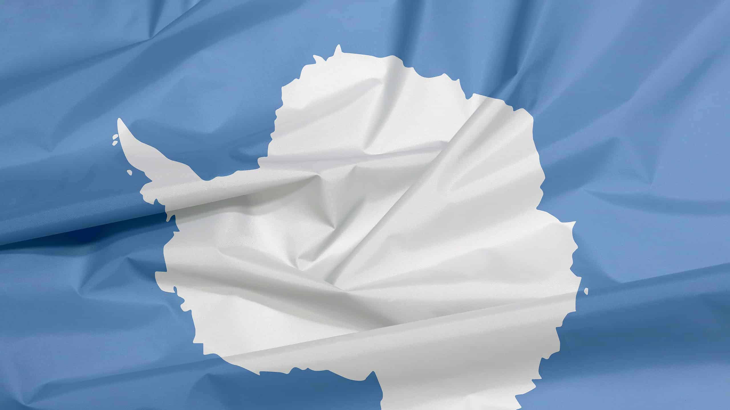
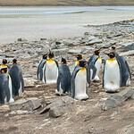
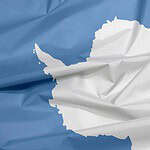
#14 What is the only continent with no permanent human population?
- Hint: Penguins are basically the landlords there.
#14 Antarctica
Antarctica is the only continent without a permanent human population. Although scientists and researchers live there temporarily at research stations, no permanent cities or civilian populations exist because of the continent’s extreme cold and isolation. Antarctica contains some of the harshest weather conditions on Earth, including powerful winds and temperatures far below freezing. Despite this, the continent remains scientifically important because researchers study climate change, glaciers, astronomy, and unique ecosystems there. Antarctica also contains enormous amounts of Earth’s freshwater locked inside ice sheets.
#15 What is the imaginary line located at 0 degrees longitude?
- Hint: Time zones start arguing here.
#15 The Prime Meridian
The Prime Meridian is the imaginary line located at 0 degrees longitude and serves as the starting point for measuring east-west positions on Earth. The line passes through Greenwich, England, which became internationally recognized as the global reference point for time and navigation during the 19th century. Modern time zones and global navigation systems still rely heavily on this geographic framework. Longitude lines help determine positions around the world and became especially important for sailors navigating oceans before modern GPS existed. The Prime Meridian remains one of the most important reference lines in geography and global mapping.